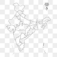
India Map States Outline Drawing - PNG Image
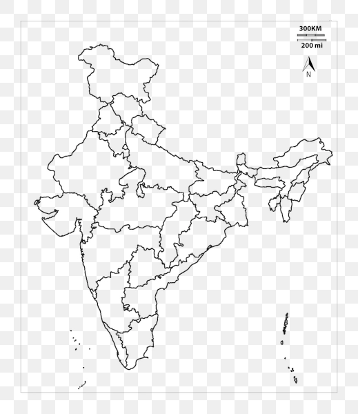
The image depicts a line drawing of the Indian subcontinent, showcasing its shape and outlines. It highlights the boundaries of India’s constituent states, with detailed depictions of their individual territories. The map clearly shows the major geographic regions within India, including Himalayan foothills in the north and extending down to the southern coastline.
The background of this image is transparent, allowing it to seamlessly integrate into various design projects or applications. It presents a clear and uncluttered representation of India’s geography, ideal for use in educational materials, presentations, or digital mapping contexts. The scale bar indicates distances in both kilometers (300km) and miles (200mi).