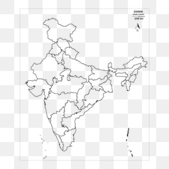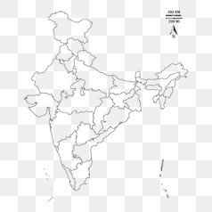
India s Political Map Outline - PNG Image
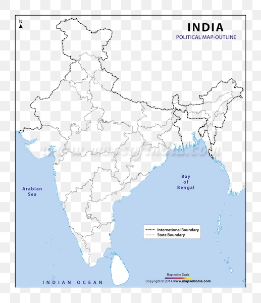
This image presents a simplified outline of India's political map. It displays the country's boundaries, focusing on the major states and territories. The lines delineate the geographical regions within India, offering a basic representation of its administrative divisions. The background of this image is transparent.
The map's design emphasizes clarity and simplicity, ideal for educational purposes or quick reference. While not a detailed representation, it effectively communicates the overall shape and extent of India and its constituent states. The absence of color allows for easy annotation and customization for different applications.