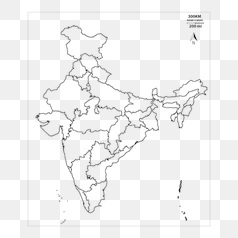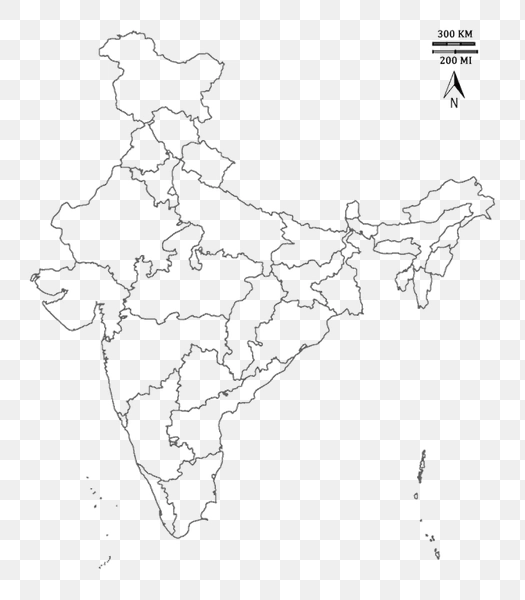
India States Outline Map - PNG Image
This image displays an outline map of India, meticulously depicting the boundaries of its various states. The map is primarily focused on the geographical shape and location of each state, offering a clear visual representation of India's territorial divisions. The background is transparent, allowing this map to be seamlessly integrated into any design or presentation without a distracting background color.
The map’s design emphasizes accuracy in representing the state boundaries, facilitating geographical understanding and analysis. It's a standard representation used for educational and informational purposes, showcasing India's diverse regions and their spatial relationships. This visual aid can be used for studying Indian geography, political science, or cartography.