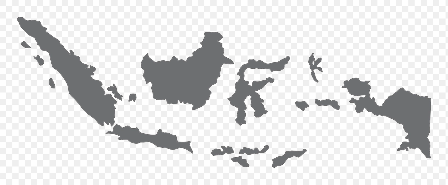
Southeast Asia Island Map - PNG Image
This image depicts a stylized map of a Southeast Asian island region, likely focusing on Indonesia due to the recognizable archipelago shape. The map features simplified representations of landmasses and surrounding waters, showcasing a geographically complex area with numerous islands. The overall design appears to be intended for illustrative or decorative purposes rather than a highly detailed cartographic representation.
The background of this image is transparent, allowing for seamless integration into various design projects. This feature is particularly useful when incorporating the map into websites, presentations, or other digital media where a clear background is not desired. The image relies on distinctive shapes to communicate landmasses, and the lack of a colored backdrop emphasizes its versatility.