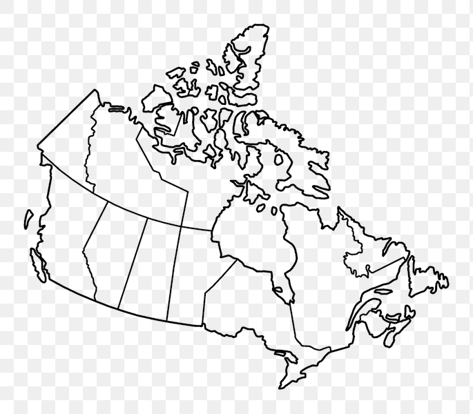
Blank Provinces Map of Canada - PNG Image
This image features a blank outline map of Canada, depicting its various provinces and territories. Each province is clearly defined, making it suitable for educational purposes, such as teaching geography or for students to label on their own. The clean lines and simple design emphasize the boundaries of each region without any distracting details.
The map's transparent background allows for versatile usage, enabling it to be easily integrated into other designs or documents without any visual interruptions. Whether for a classroom setting or personal projects, this blank map serves as a functional resource for anyone needing a clear representation of Canada's geographical divisions.